The Maxwelton Watershed
Even though not everyone lives on a stream, we all live in a watershed.
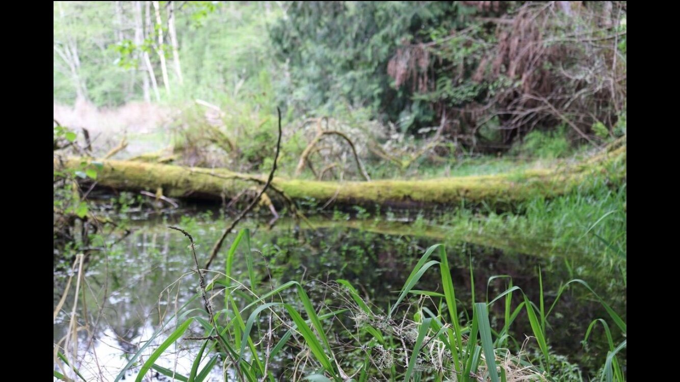
The shape and character of Maxwelton Creek are constantly changing. Rain and wind cause floods and blow new trees down into the creek to divert water flow in new directions. In the winter of 1996, torrential rains caused floods so high that water was flowing across Erikson Road near the Outdoor Classroom site. Some salmon were observed swimming across the road! The flood left the riverbed of Maxwelton Creek several feet lower than a few days before, which is why the Outdoor Classroom boardwalk is so far above the creek now.
The Last Wild Place? Prior to settlement of the Maxwelton Valley by European immigrants, a 200-acre estuary stretched from the beach outflow nearly to present-day French Road. Large runs of Coho and Chum salmon returned to the area each year, providing seasonal food for the Snohomish tribe of the Salish people as well as bears, eagles, otters, and many other animals. In the early 1900s a growing community settled in the lower Maxwelton Watershed. A dike was built in 1914 and later a tidegate to keep salt water out of fields and potential home sites. Due to the loss of the estuary, an increase in Puget Sound salmon fishing, and many other factors, the former runs of Chum and Coho salmon have nearly disappeared from Maxwelton Creek. Now many people and organizations are working together to restore those runs for future generations.
